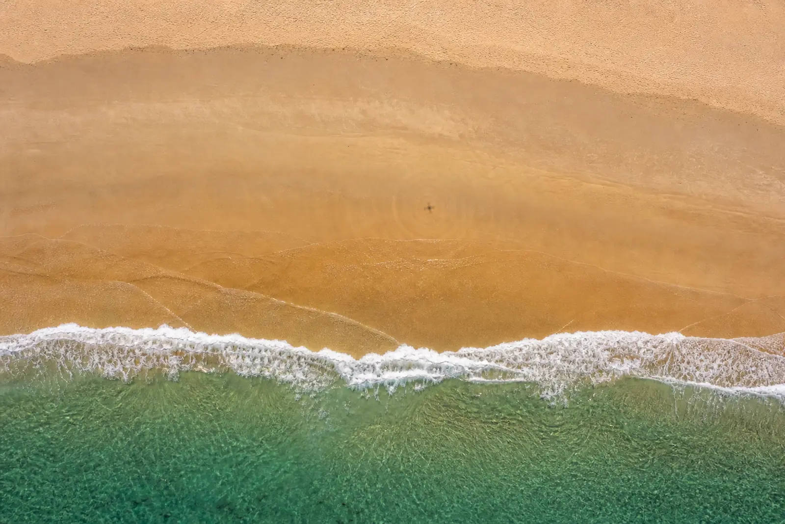
Drone & capture
The nadir logo, and the real zenith problem in drone work
On the ground, the hole in a 360 panorama is under your feet and a logo covers it. On a drone it is above your head, and no logo fills that.
Every 360 panorama tutorial you will find online tells you the same thing: at the bottom of your sphere there is a hole - the nadir - because the tripod was there, and you do not photograph what you are standing on. The universal fix is to paste a round logo over it.
That advice is excellent. It is also, in aerial virtual tours, almost entirely beside the point - and the real problem is elsewhere.
On the ground, the hole is under your feet
A panorama shot from a tripod has a mechanical flaw: the point directly below has never been photographed. In its place you find stretched blur, the photographer’s feet, or the shadow of the kit.
So the habit took hold: mask the area with a disc, usually the agency’s logo. Two benefits at once - the flaw disappears, and the brand signs the image.
On a drone, the hole is above your head
Under a drone there is no tripod. There is ground, photographed honestly, and often one of the best angles of the whole job: the pool seen straight down, the shape of the greens, the paths of a campsite. The aerial nadir is not a flaw, it is a selling point.
Where the hole in the sphere is
Tripod panorama
Nadir
Below the camera: tripod legs, the shadow of the kit, stretched blur. An area of no interest, which a disc can cover at no cost.
Drone panorama
Zenith
Above the aircraft: propellers, the body of the drone, an angle the gimbal cannot physically reach. No logo belongs there.
The hole itself has moved. It is at the zenith - just above the aircraft, where the propellers are, the body of the drone, and the angle the gimbal physically cannot reach. Depending on the model and the stitching mode, that runs from a small blurred patch to an entire cone of missing sky.
Why nobody talks about it
Because the literature of 360 panoramas was written by ground photographers, for ground photographers, ten years ago. The vocabulary, the tools and the advice all carry that mark. A drone pilot searching for “how to fix the nadir” finds a thousand answers; they find very few on the zenith, which is the one that is actually their problem.
The paradox is amusing: both communities have a hole in their sphere, they call it the same thing, and it is not the same one.
What can be done with the zenith
Three approaches, in order of discretion.
Leave it. More defensible than it sounds. A visitor to an aerial tour looks down and out to the horizon; they rarely lift their eyes to a uniform sky. On a midday panorama with no cloud, the missing area goes completely unnoticed.
Fill it with a gradient. The sky around the hole is almost always a flat wash that varies slowly. Extending that colour towards the zenith point produces a result nobody detects, at zero computational cost. It is the default behaviour of our pipeline, and it is enough in the vast majority of cases.
Reconstruct it. When the sky has structure - clouds, backlight, a contrail - a gradient shows: the join is too clean in the middle of a sky that is not. That is where a learned reconstruction takes over and invents the continuity of the clouds. Useful, but reserved for that precise case: on a plain blue sky it only burns compute for a result identical to the gradient.
So what about the logo?
It keeps a place, but not the one people ascribe to it.
Under a drone, burning a logo into the nadir means deliberately masking part of the subject - the very part the client paid to have seen.
We kept the feature, because some cases justify it:
- an estate that wants to sign its images;
- an indoor tour shot from a tripod in the same series;
- a brand constraint the client cannot get out of.
But we no longer present it as good aerial practice, because it is not.
The takeaway
If you come from ground panoramas, unlearn one reflex: in aerial work, the nadir is your best image and the zenith is your hole. Look at what was in the sky on the day of the flight - if it was plain, you have nothing to do; if it was cloudy, that is where the effort goes, not under your feet.
Développeur et télépilote de drone. Construit Moorea au sein d’Elvn Studio.
Further reading
 Drone & capture
Street View: what Google closed, and what it left open
The app went in 2023, the photographer programme in 2024, the publishing interface stayed. What those three dates change for anyone selling 360 capture.
6 min read
 Drone & capture
How sharp does a virtual tour need to be?
Megapixels say nothing about the sharpness of a 360 panorama. The only metric that counts is angular density, in pixels per degree.
5 min read
 Engineering
One camera, three surfaces: flattening the world in 360
Why the edges of a 360 panorama stretch as you zoom out, which projections fix it, and why all three fit in one line of shader.
7 min read
A place worth showing from above?
The free plan is enough to publish a first tour and show it around.