Feature
Your map becomes the tour
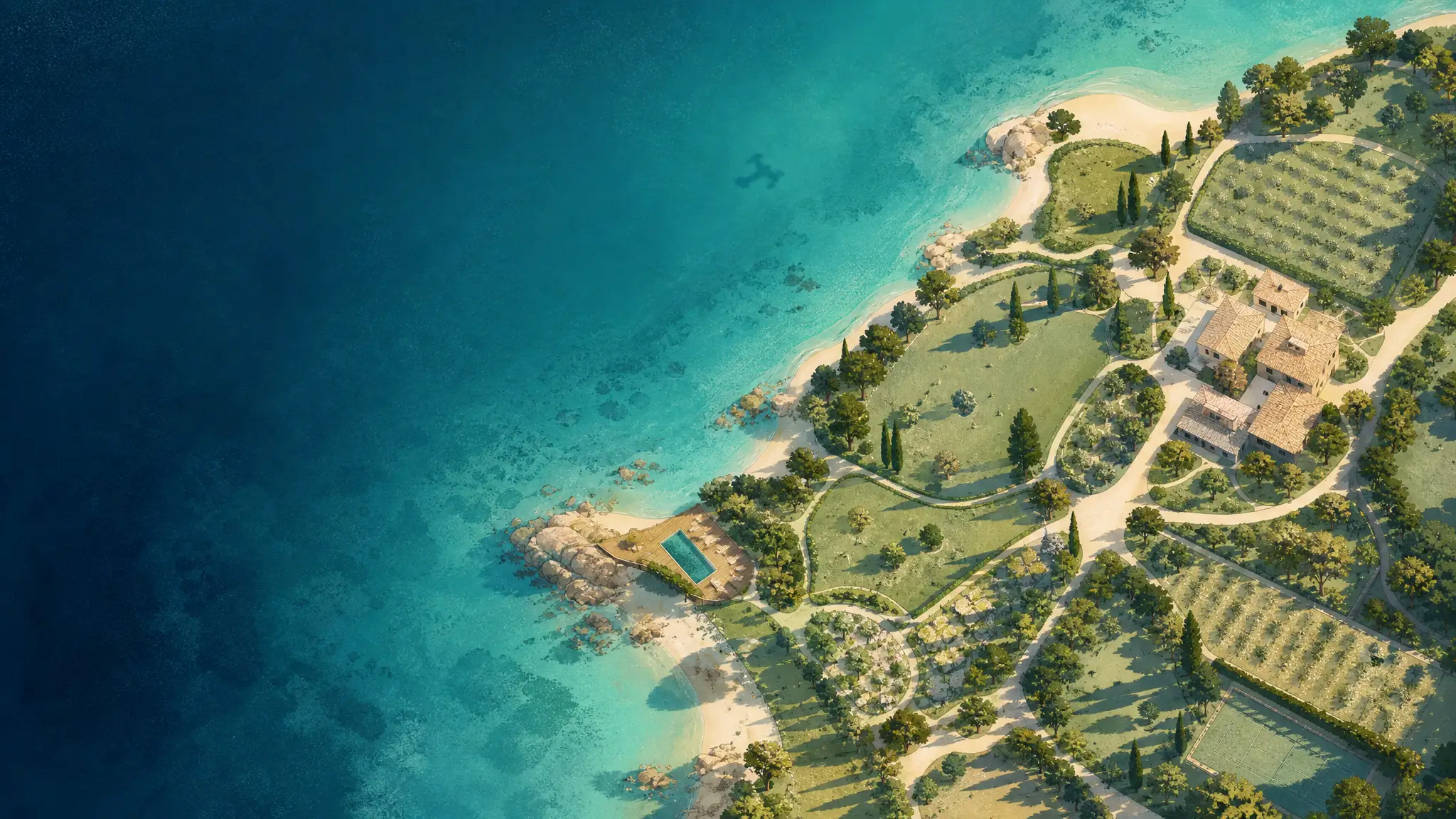
Most campsites and golf courses already have a beautiful illustrated map - as a PDF, on a signboard, on the back of a brochure. Here it is the home screen: the tour opens on the map, full screen, and every place on it can be visited in 360.
The problem
The problem with the PDF map
An illustrated map answers « where is what », never « what does it look like ». The two answers live on two different media, and the visitor bridges the gap alone - or does not.
By placing the 360 viewpoints on the map itself, the question disappears: you click the shaded zone and you are there. The map keeps its role as a landmark - the same one the visitor will find printed at reception - and gains a second one as navigation.
The interactive map is a tour template: you pick it when creating the tour, your map replaces the satellite background, and the tour starts on it - full screen, not in a corner of the picture. Opening a view hands the screen to the 360; the bottom capsule brings the map back.
What it changes in practice
- Your map, not oursUpload your illustrated map image. No style constraints: your graphic identity carries the navigation - and without one, the satellite map does the job.
- A place, its views, its cardShaded pitches, the pool, the clubhouse: every place carries one or more 360 views and its info card. A place can even exist without a panorama: its marker then opens the card - photo, type, link.
- The booking link insideEach zone card can carry capacities, amenities and a direct link to the booking engine. Two clicks from desire to booking.
How it works
A tour template in its own right
The interactive map is chosen when the tour is created, like a golf course’s Route or a construction site’s Timeline. No option to tick: it is the tour’s identity.
At creation, you pick the interactive map template. The structure then prefills for your sector - campsite, leisure park, marina, municipality, destination, mountain resort - with the right word: your places are called zones, sites or pontoons, and that word shows everywhere, from the editor rail to the player.
In the editor, you drop places straight onto the map with the mouse - or drag them on the satellite view. The 360 views attach to them as you import, and a place moves without touching them.
A place without a panorama is a normal state. The reception area not flown yet, the trail that opens in spring: create the place with its photo and link, and the card does the work until the 360 arrives.
Questions
Can we use our existing illustrated map?
Yes - that is the main use case. An image is enough, taken from your brochure PDF or your reception signboard. You then place viewpoints on it with the mouse.
What if we do not have an illustrated map?
The satellite map works well and has the advantage of being accurate. It is the default; the illustrated map is an option, not a prerequisite.
How does it behave on mobile?
The tour opens on the map, full screen, on mobile as on desktop. Opening a view hands the whole screen to the 360, and the bottom capsule brings the map back.
Can we show a place that has no 360 photo yet?
Yes. A place can exist without a panorama: its marker opens an info card - photo, type, link - instead of a view. The 360 attaches later, with nothing to redo.
Where positions come from
Your scenes place themselves
Nobody pins twelve positions by hand on a map. The coordinates are already in your files: we read them.
Metadata is read on import. GPS, altitude, heading, GPano tags: the scene lands in its real place on the satellite base, facing the right way.
Heading is not decoration. It aligns the tour’s north with true north, which is what makes the minimap usable.
And when metadata is missing? Those scenes are placed by drag and drop, and nothing else changes.
Nothing is frozen: a position is corrected by dragging it, at any time.
Custom map
When satellite is not enough
A campsite usually has a drawn map, with its zones and numbers. It replaces the satellite base, and the tour is navigated on it.
You upload your map, it becomes the navigation. Scenes keep their positions, expressed relatively.
The operation is not destructive. GPS coordinates are kept: removing the custom map brings back the satellite base, untouched.
A side effect that matters. In map mode the minimap pans and zooms in CSS: the mapping library is not loaded at all, cutting around 200 kB from the critical path.
This is the campsite, leisure park and mountain resort case.
By trade
What the map becomes, by venue
One mechanism, three vocabularies. The trade template decides what the map shows.
Your map deserves better than a PDF
The free plan is enough to place your first viewpoints on your map and show it around.