The category
Aerial virtual tours, explained
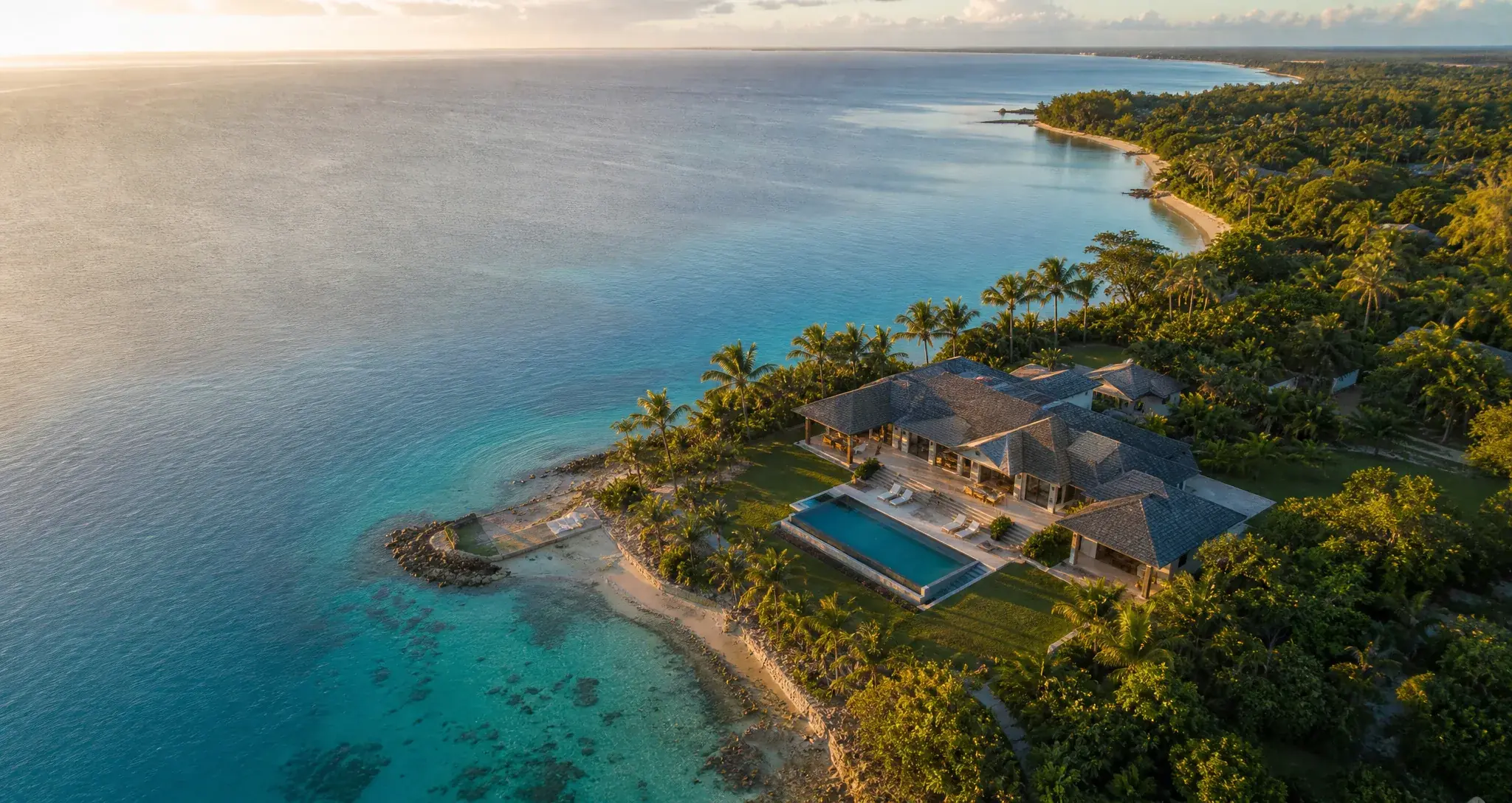
An aerial virtual tour is an interactive walkthrough made of 360 panoramas shot by drone and linked together on a map. Visitors look wherever they want, from above, and move from one viewpoint to the next - no app, just a browser.
- 5 to 10
- viewpoints for a convincing first tour
- 20-60 m
- the altitude that gives scale without losing detail
- 3 lines
- of HTML to embed it on your site, cookie-free
- 1 week
- from scouting to publication, weather included
What aerial shows that nothing else does
Two things, and they explain the whole category: volumes and distances.
From thirty metres up, one glance tells you the pool is two minutes from the shaded pitches, that the 7th green backs onto the sea, that the estate’s car park is hidden behind the hedge. That is precisely the information that decides a booking, and it is invisible from the ground and in a brochure.
The other effect is harder to name: a flyover conveys scale. A 400-pitch campsite and a 60-pitch one look alike in photos; from the air, never. For a venue whose size is an argument - or whose intimacy is - this is the format that tells the truth fastest.
A 400-pitch campsite and a 60-pitch one look alike in photos; from the air, never.
Comparison
Aerial, interior, video, satellite
Four ways to show a place, four different jobs. None replaces the others, and saying so honestly is the only way to choose.
Our format
Aerial 360 tour
- What it shows best
- The whole site, its volumes, its distances
- Interactive?
- Yes - visitors choose where to look and where to go
- Embeddable
- Yes, as a lightweight cookie-free iframe
- Freshness
- The date of your flight
- Best use case
- Golf, campsites, estates, marinas, resorts - anywhere that spreads out
Other format
Interior tourMatterport-style
- What it shows best
- Rooms, finishes, dimensions
- Interactive?
- Yes - room-to-room movement
- Embeddable
- Yes, as an iframe
- Freshness
- The date of the capture
- Best use case
- Flats, hotels, showrooms - anywhere partitioned
Other format
Drone video
- What it shows best
- Emotion, movement, a short story
- Interactive?
- No - the edit dictates the path
- Embeddable
- Yes, via a video platform (and its cookies)
- Freshness
- The date of the shoot
- Best use case
- Social media, advertising, home pages
Other format
Satellite map
- What it shows best
- Raw geography, unstaged
- Interactive?
- Partly - 2D pan and zoom
- Embeddable
- Yes, but without your content
- Freshness
- Often 1 to 3 years, out of your control
- Best use case
- Getting your bearings before arriving
Matterport and aerial are not competitors: they cover indoors and outdoors. A hotel with grounds has good reason to have both.
How it is made
How an aerial tour is made
Four steps, only one of which concerns you directly: choosing the viewpoints.
- Step 01
Scouting
List the viewpoints that tell the story of the place - the entrance, the heart, the areas you sell. Five to ten is enough for a convincing first tour.
- Step 02
The flight
A professional drone pilot captures a full sphere at each point, usually between 20 and 60 metres. The drone often stitches the sphere itself; if not, stitching happens on the ground.
- Step 03
Processing
Each panorama is cut into tiles and levels of detail so the tour starts in a second and sharpens afterwards. The platform does this automatically on import.
- Step 04
Publishing
Place the points on the map, add info cards and booking links, publish. The tour lives on a link, embeds into the site and shares as a QR code.
By trade
Who it is for
The principle is the same everywhere; navigation and info cards change with what the place has to sell.
 GolfHole selector, par and distance cards, guided mode: the aerial tour that sells the course.Explore
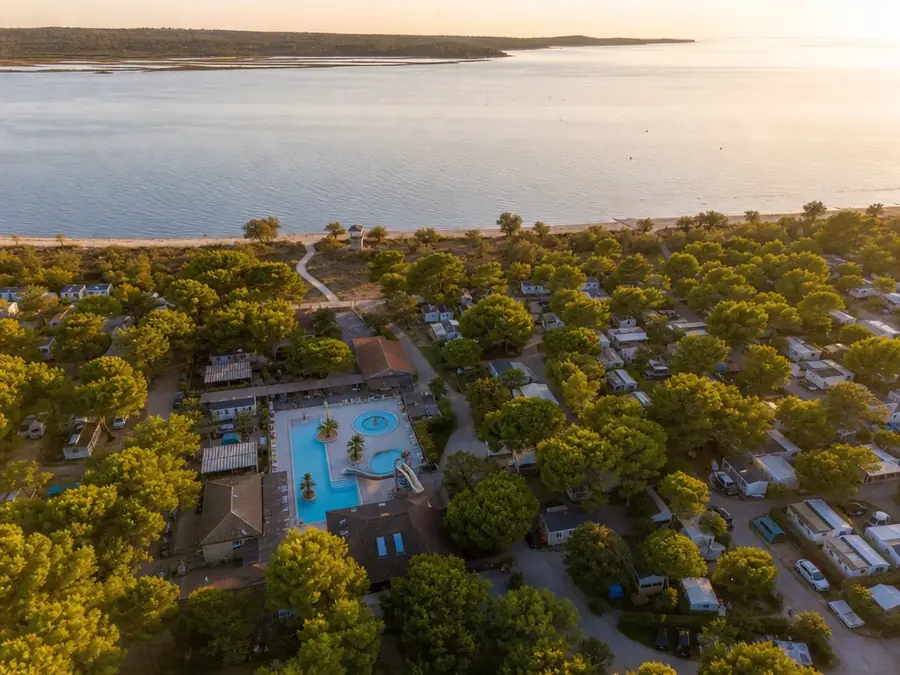 CampsitesEvery zone in aerial 360, capacities and booking links: the flyover that turns lookers into bookers.Explore
 ResortsSpaces, accommodation and facilities in aerial 360: the argument that sells the stay, not just the room.Explore
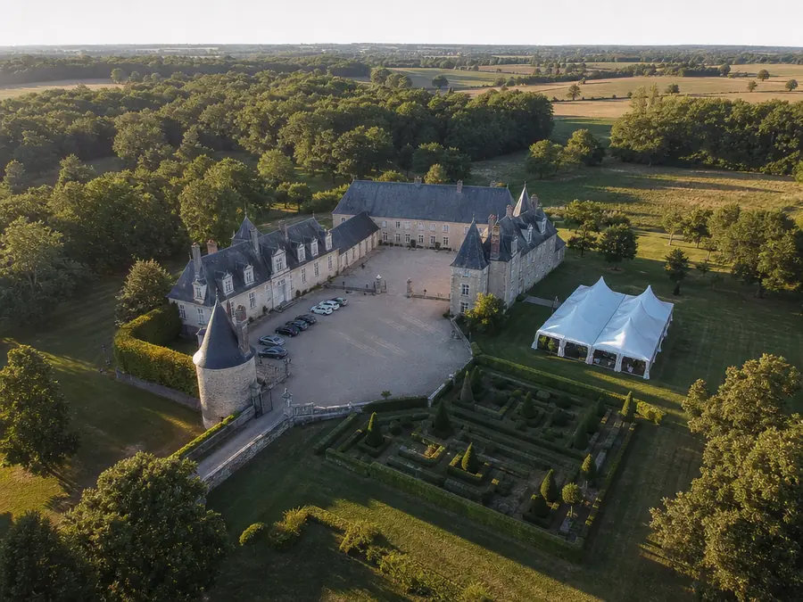 Event venuesSpaces, capacities per configuration, the estate video: the tour that qualifies couples from afar.Explore
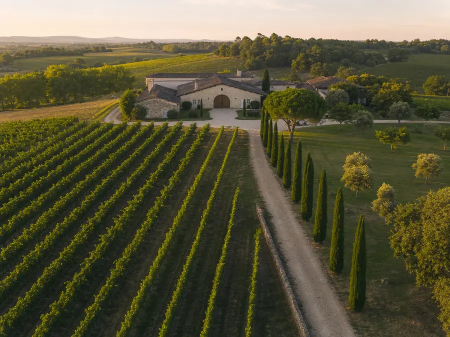 WineriesThe estate in aerial 360, plots and grape varieties, wine tourism and receptions in the same tour.Explore
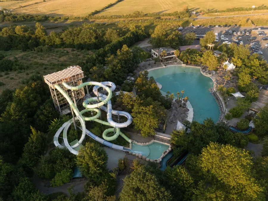 Leisure parksZones and attractions in aerial 360: the visit is planned before the ticket, and refreshed with every new season.Explore
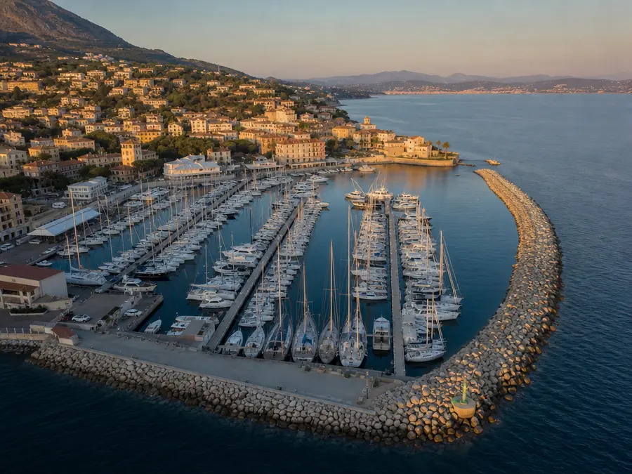 MarinasThe marina pontoon by pontoon: berths, lengths, draughts - boaters plan their stopover online.Explore
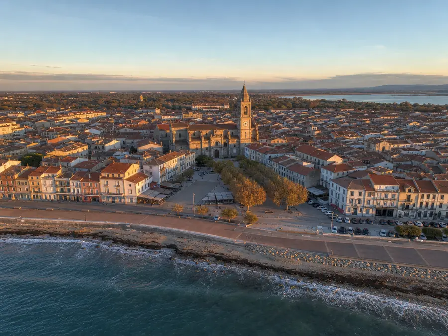 MunicipalitiesThe town’s sites linked on a map: heritage, riverbanks, leisure areas - attractiveness in a single tour.Explore
 DestinationsThe destination’s sites linked on a map: visitors build their trip before they come.Explore
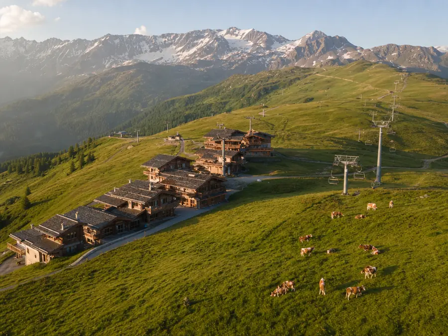 Mountain resortsHigh-altitude viewpoints, trails, lakes: the resort off-season in aerial 360, linked on a map.Explore
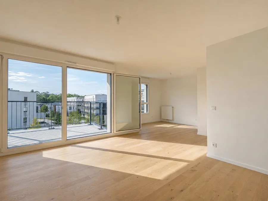 New-build developmentsAerial views floor by floor and aspect by aspect, before the building exists - and the show flat in the same tour.Explore
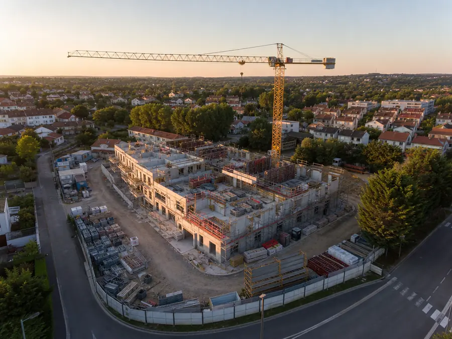 Construction progressThe same viewpoints on every pass: one dated tour per flight, progress reads from one month to the next.Explore
Further reading
The category's guides
Three ways in: what it costs, how it gets made, and what the market's platforms are worth against a wide site.
- What does a drone virtual tour cost in 2026?The breakdown of a quote: the drone pilot's fee on one side, hosting on the other, and the six factors that move the first one.Explore
- Create a drone virtual tour: the 2026 guideThe full method, from recce and flight permissions through to publishing and the tour's map.Explore
- Matterport, Kuula, Klapty: what are they worth on a wide site?Nine comparisons, each with its dated survey, what the competitor does better, and what Moorea does not do.Explore
Frequently asked questions
What does an aerial virtual tour cost?
The capture itself usually runs from a few hundred to a few thousand euros depending on the size of the site and the number of viewpoints; hosting is a separate monthly subscription. The full breakdown is in our cost guide.
Do we need to buy a drone?
No. Capture is done by a professional drone pilot who owns the equipment, the insurance and the flight permissions. You buy a service, not gear.
Can it be embedded in our existing website?
Yes, with three lines of HTML, on any site including WordPress. The embed is built without cookies or persistent identifiers.
How is this different from Google Earth or Street View?
Freshness (your flight, not a 2023 image), viewpoint (your angles, not a car’s or a satellite’s) and content (your info cards, your booking links, your brand).
You have a place to show, or a drone to make pay
Both roads lead to the same product - but not to the same starting point.