
Free
To try Moorea
€0/month excl. VAT
To try Moorea out: 3 tours, 5 panoramas, 16K.
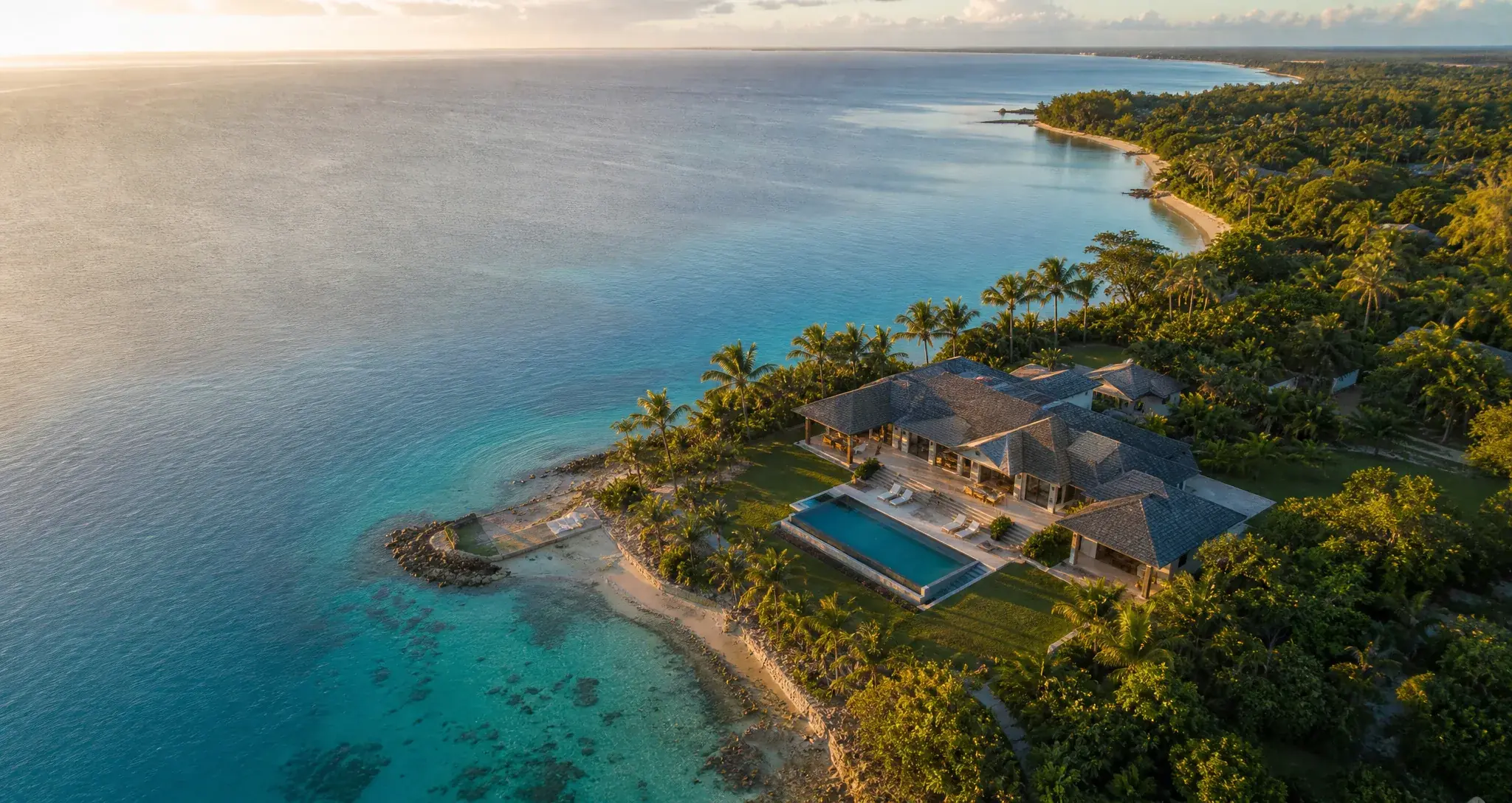
The aerial virtual tour platform
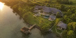
Moorea turns your 360 drone panoramas into fast, elegant virtual tours. Upload your spheres, link scenes on the satellite map, publish the same day.
Free · No credit card
512megapixels
20 kBthe player
Unlimited:viewsbandwidth
Hosted in Europe
Built for drones
Moorea accepts any equirectangular 360 photo - but aerial imagery gets treatment you will not find anywhere else.
All featuresScenes place themselves automatically from your files' GPS data. Visitors navigate on a satellite view, like flying. No other platform offered it in our August 2026 survey.
A golf course needs a hole selector and par/distance cards; a campsite a clickable map and capacities per zone. Same engine, two products in use.
Your client annotates inside the tour, in the exact spot, without creating an account. You resolve, you close the layer: the published tour keeps no trace.
Multi-resolution tiling: the player only loads the tiles being looked at, at the resolution that matters. A 19.5 kB engine, with no plugin and no dependency.
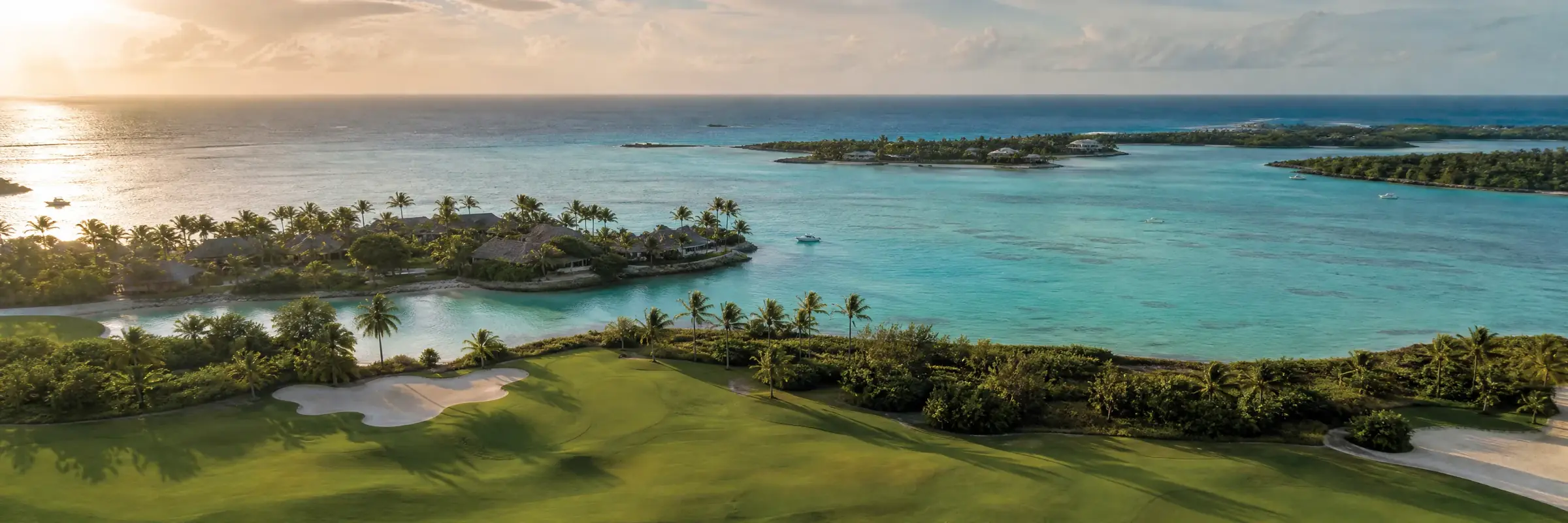
Industries
Each industry gets its own pack: dedicated navigation, tailored info cards, a demo to prove it - and a page that explains everything, price included.
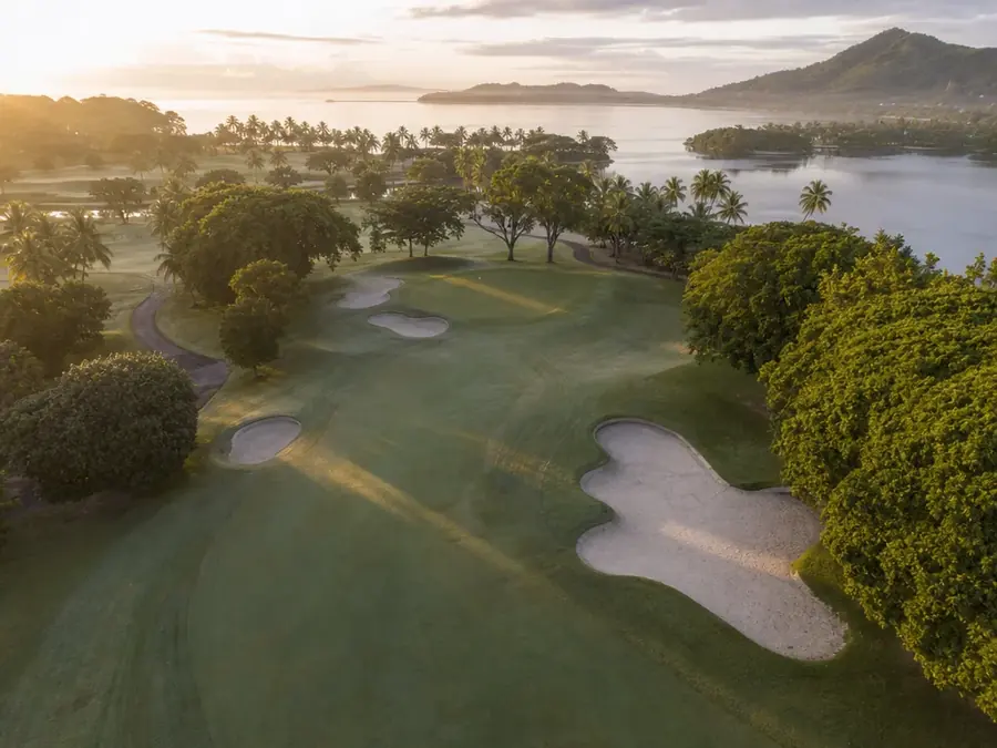
Golf Pack
Hole selector, par and distance cards, guided mode: the aerial tour that sells the course.
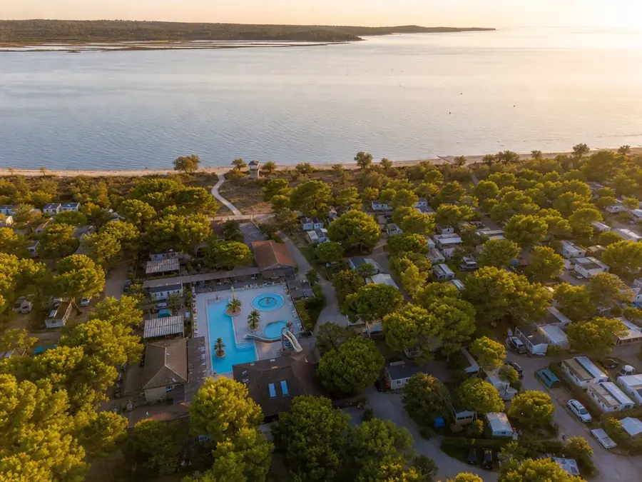
Campsite Pack
Every zone in aerial 360, capacities and booking links: the flyover that turns lookers into bookers.
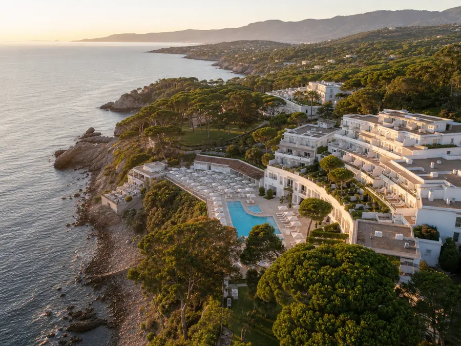
Resort Pack
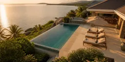
Spaces, accommodation and facilities in aerial 360: the argument that sells the stay, not just the room.
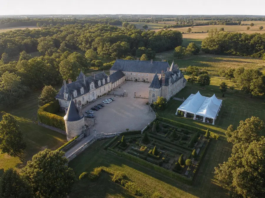
Event Venue Pack
Spaces, capacities per configuration, the estate video: the tour that qualifies couples from afar.
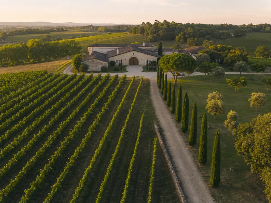
Winery Pack
The estate in aerial 360, plots and grape varieties, wine tourism and receptions in the same tour.
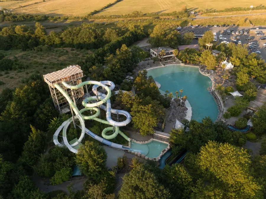
Leisure Park Pack
Zones and attractions in aerial 360: the visit is planned before the ticket, and refreshed with every new season.
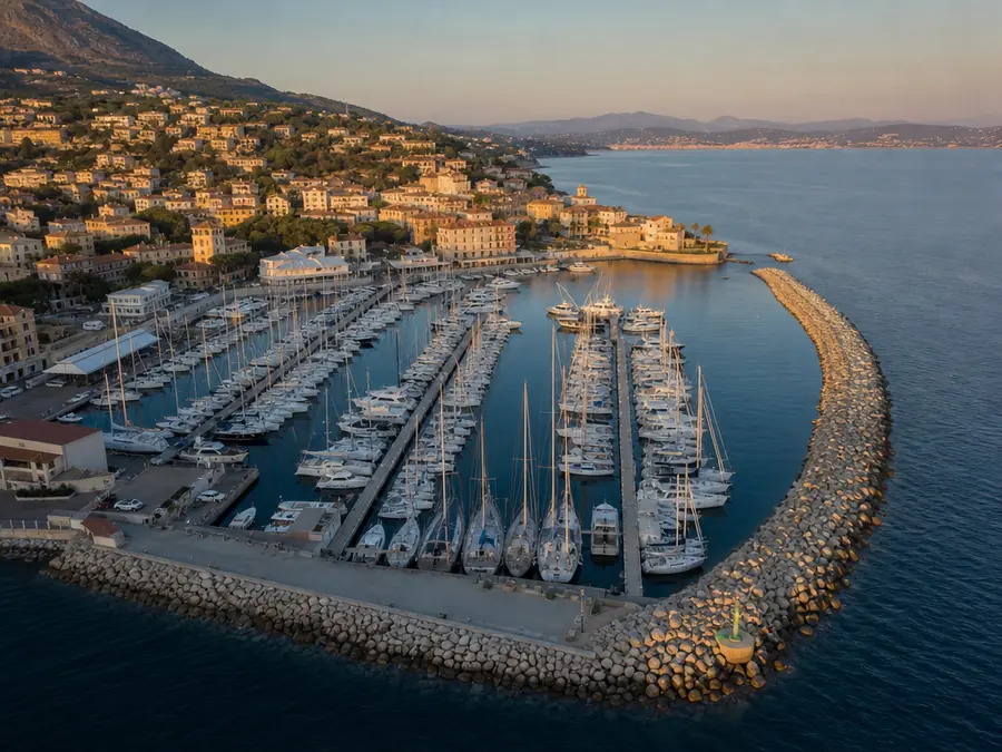
Marina Pack
The marina pontoon by pontoon: berths, lengths, draughts - boaters plan their stopover online.
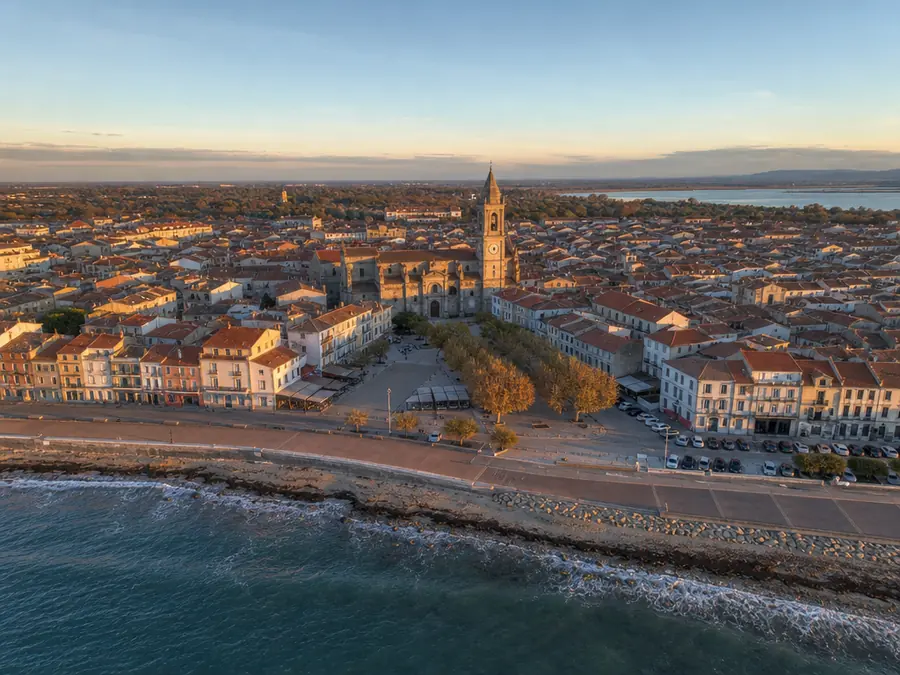
Municipality Pack
The town’s sites linked on a map: heritage, riverbanks, leisure areas - attractiveness in a single tour.
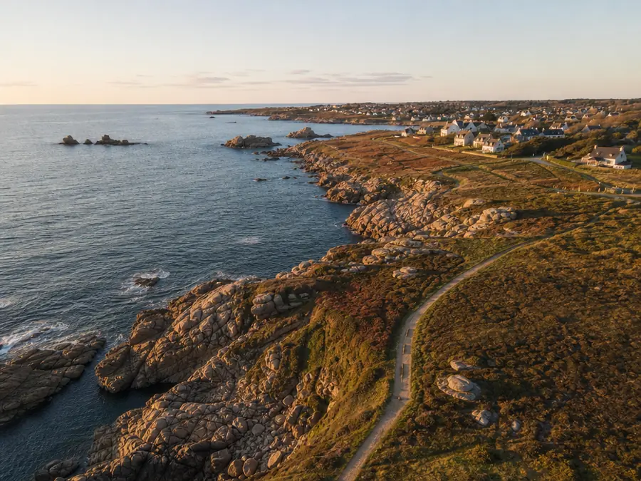
Destination Pack
The destination’s sites linked on a map: visitors build their trip before they come.
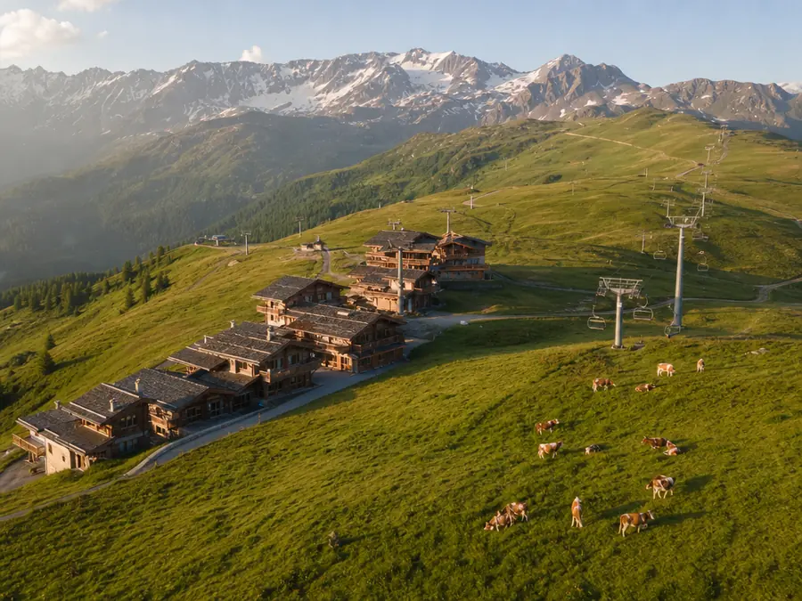
Mountain Resort Pack
High-altitude viewpoints, trails, lakes: the resort off-season in aerial 360, linked on a map.
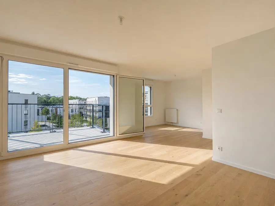
New-build Pack
Aerial views floor by floor and aspect by aspect, before the building exists - and the show flat in the same tour.
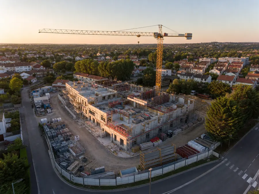
Construction Progress Pack
The same viewpoints on every pass: one dated tour per flight, progress reads from one month to the next.
How it works
Three steps, no skills needed beyond flying your drone.
Drop your 360 panoramas, whatever shot them. GPS is read automatically: scenes are created and placed on the map.
Place navigation and info pins with the crosshair. Directions between scenes are pre-computed from GPS.
Public link, QR code or an iframe on your client’s site. Password-protect for review, analytics from the very first view.
Pricing
Tours never expire, and there is no view or bandwidth quota.
Unlimited views and bandwidth
To try Moorea
€0/month excl. VAT
To try Moorea out: 3 tours, 5 panoramas, 16K.
For a single venue, for good
€9/month excl. VAT
For a single venue: 5 tours, 50 panoramas, lead capture and analytics.
To deliver under your own brand
€19/month excl. VAT
To deliver under your own brand: full white label, a custom domain and industry templates.
To make a living from it
€39/month excl. VAT
To make a living from it: unlimited tours and access to Moorea Network.
Prices exclude VAT. Two months free on annual billing (€90, €190 and €390).
FAQ
Any 2:1 equirectangular panorama, whatever produced it: a drone’s built-in panorama mode, a 360 camera such as an Insta360 or a Ricoh Theta, or a sphere you stitched yourself. JPEG, PNG, TIFF and AVIF, up to 32,000 × 16,000 pixels and 500 MB per file. Ground-level panoramas work the same way: a typical tour mixes air and ground.
Up to 32K (512 megapixels) depending on the plan. The player slices every panorama into multi-resolution tiles and only downloads what the visitor looks at: the transferred weight does not follow the size of the source file.
The zenith hole typical of drone panoramas is filled automatically on ingest. At the nadir, Moorea composites your logo over the drone area - you deliver a clean sphere, no retouching.
Moorea is hosted in Europe. The embed sets no cookies, analytics are anonymous aggregates, and you can delete your account - and all your data - at any time.
Every tour ships with a ready-to-paste iframe snippet (about 142 kB gzipped on the critical path, measured on every build), size presets, a QR code and oEmbed support. The Pilot plan can restrict embedding to allowed domains.
Never. No bandwidth quota either - two well-known pain points of other platforms we deliberately left out.