About
A platform born on a scouting flight
Moorea is developed in France by one person. This page says who, why the product exists, and what it runs on - because you do not hand a property’s images to software you know nothing about.
The problem we saw from above
Virtual tour tools were designed for interiors: a room, a door, the next room. A golf course, a campsite or an estate is not walked like a flat.
An outdoor place is understood through its volumes and its distances: where the sea sits relative to the pitches, how far the car park is from the pool, what hole 7 looks like from the tee. None of those questions is answered by a sequence of room photos, or by a three-year-old satellite image.
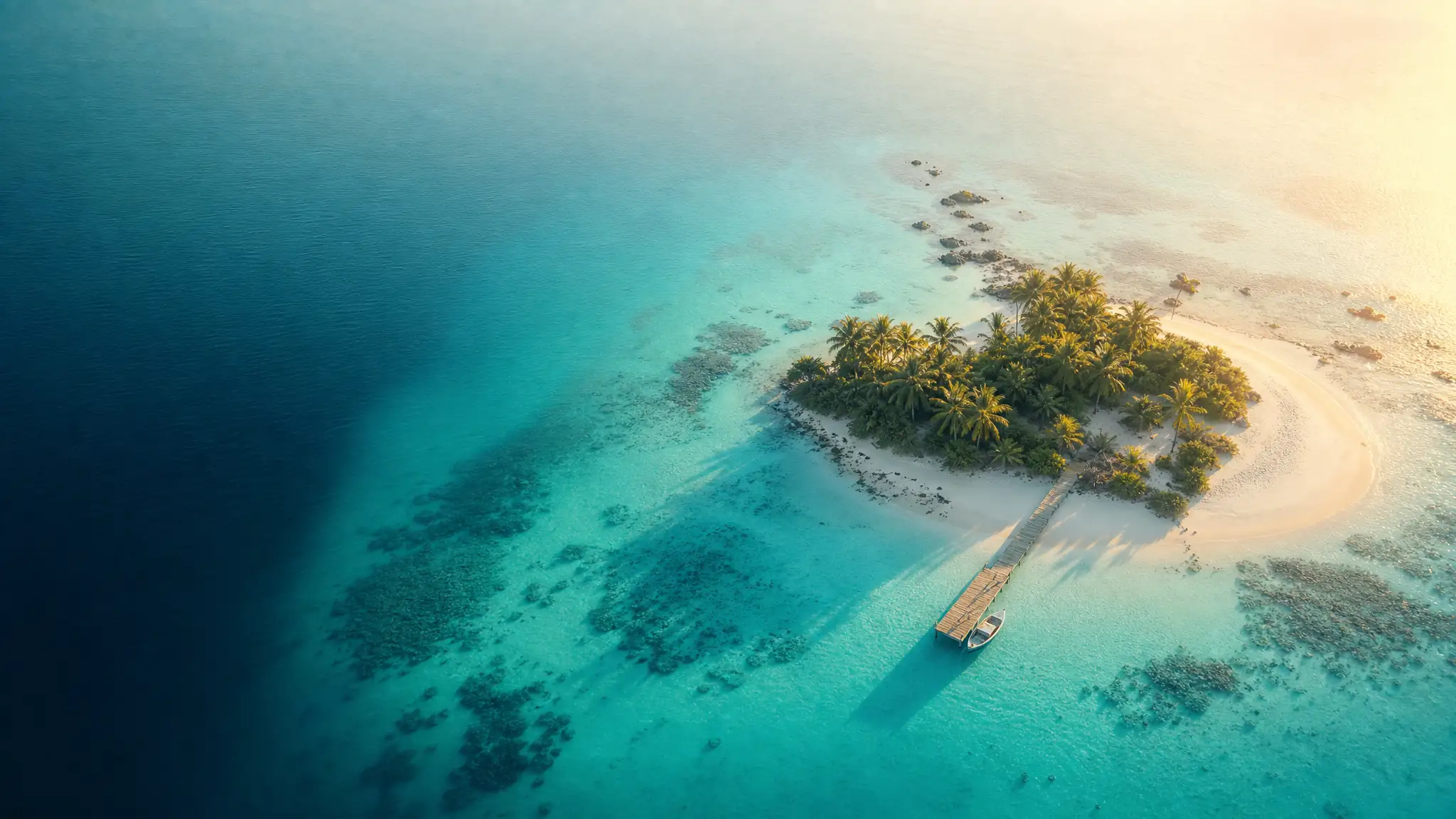
The answer was an aerial panorama: one spherical image taken thirty metres up shows the whole place at once and lets visitors look wherever they want. What remained was turning it into something other than a 200 MB file sent over WeTransfer - which is precisely what Moorea does.
Author
Who writes here
Jean-Charles - developer, and licensed drone pilot. Both matter: the product is written by someone who has stitched panoramas at three in the morning because the first attempt failed.
Everything published here is signed, dated, and based on real captures or figures measured on the platform. External data is sourced; features that do not exist yet are not described in the present tense. It is the simplest editorial rule, and the rarest.
You can reach me at hello@moorea.app.
A question, a project, a piece of feedback?
Whether you are a drone pilot looking for recurring revenue or the manager of a place worth showing, the conversation starts the same way.